


The World Meteorological Organisation (WMO) has warned that there is an 80 per cent probability of El Niño developing between June and August, heightening the risk of extreme weather events worldwide.

According to the United Nations weather agency, El Niño conditions are emerging due to unusually warm ocean waters in the tropical Pacific and are expected to affect global temperature and rainfall patterns.
Forecasts from the WMO’s global network indicate a significant shift towards El Niño conditions, with the likelihood reaching 80pc during the June-August period. The probability is expected to rise further, reaching near or above 90pc by November.
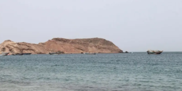
El Niño is a naturally occurring climate pattern characterised by warmer-than-average sea-surface temperatures in the central and eastern equatorial Pacific Ocean. The phenomenon influences wind systems, atmospheric pressure and rainfall patterns across the globe. It generally occurs every two to seven years and can last between nine and 12 months. Its opposite phase is known as La Niña, with neutral conditions occurring in between.
The WMO stated that most climate models suggest the upcoming El Niño event will be at least moderate in strength and could potentially become strong.
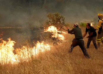
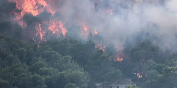
WMO Secretary-General Celeste Saulo said the world should prepare for El Niño, warning that it could “exacerbate drought and heavy rainfall and increase the risk of heatwaves both on land and in the ocean”.
The agency noted that even moderate El Niño events increase the likelihood of weather and climate extremes. The previous El Niño contributed to making 2023 the second-hottest year on record, while 2024 became the warmest year ever recorded at approximately 1.55 degrees Celsius above the 1850-1900 pre-industrial average.
Recent observations showed sea-surface temperatures in the central-eastern equatorial Pacific approaching El Niño thresholds between late April and mid-May. Sub-surface ocean temperatures in the region were measured at more than 6°C above average. The Southern Oscillation Index, an atmospheric indicator linked to El Niño, is also showing signs consistent with the development of the phenomenon.
While the WMO said there is no evidence that climate change directly increases the frequency or intensity of El Niño events, it warned that rising global temperatures can amplify their effects. Warmer oceans and atmosphere provide additional energy and moisture that can intensify extreme weather events such as heatwaves and heavy rainfall.
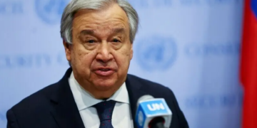
“El Niño is arriving on our doorstep,” UN chief Antonio Guterres said in a video message.
“The world must treat it as the urgent climate warning it is. El Niño conditions will pour fuel on the fire of a warming world. Impacts will hit even harder, travel even farther, and cross borders with devastating speed.
“The only effective response is climate action equal to the crisis — ending the addiction to fossil fuels, accelerating the shift to renewables, protecting the most vulnerable, and delivering early warning systems for all.”
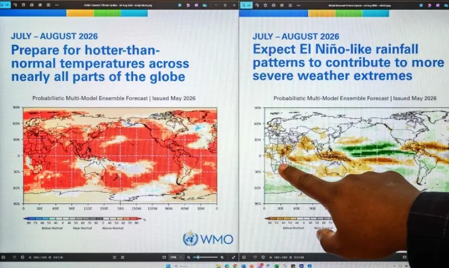
For the June-August period, the WMO forecasts above-normal temperatures across most parts of the world. It warned that these conditions could worsen drought risks in areas experiencing reduced rainfall and increase the likelihood of multiple climate-related hazards occurring simultaneously.
Regional climate centres have projected below-normal rainfall during the June-September rainy season in the northern Greater Horn of Africa, weaker-than-average monsoon rainfall in South Asia, and warmer, drier summer conditions across Central America.
The agency also noted that during the Northern Hemisphere summer, warmer Pacific waters linked to El Niño can strengthen hurricane activity in the central and eastern Pacific while suppressing storm development in the Atlantic Ocean.
The WMO said early forecasts are intended to support preparedness efforts in climate-sensitive sectors, including agriculture, water management, energy and public health.